Atlas of Ungulate Migrations
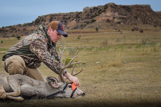
The new world Atlas of Ungulate Migrations features Wyoming’s own Red Desert to Hoback mule deer among maps of 19 other species.
The Story of GIUM
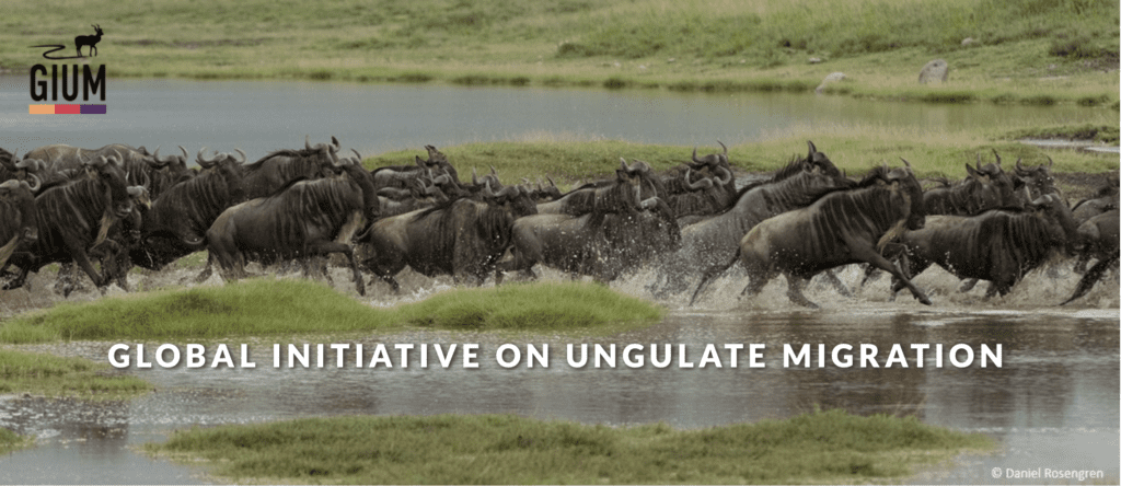
The Global Initiative on Ungulate Migration began in 2021 with the publication of a commentary in the journal Science authored by 92 international researchers.
Then in July 2023 more than 80 scientists gathered in Jackson Hole for the first-ever meeting of the Global Initiative on Ungulate Migration. The workshop helped kickstart the production of the first 20 migration maps in the atlas.
Support for the GIUM meeting came from the University of Wyoming Office of Research and Economic Development and Global Engagement Office, Wildlife Conservation Network, Knobloch Family Foundation, George B. Storer Foundation, Bole & Klingenstein Foundation, Beverly Boynton, Anne Young, Bernie McHugh, Ralph and Louise Haberfeld, Bill Bradford, J.J. Healy, and Helen Pigage.
More about the Atlas:
The online atlas provides detailed maps revealing some of the world’s most iconic migrations and makes map files freely available to governments, conservationists and the public.
Driven by the best-available science on ungulate migrations, the atlas serves as a repository for up-to-date migration maps that can inform conservation planning, infrastructure development and policymaking to enhance ecological connectivity.
Beginning with this launch, shapefiles and factsheets associated with 20 migratory populations around the world will be freely available to policymakers, conservationists, managers and the public.
You can follow the Global Initiative on Ungulate Migration on Facebook and X (Twitter) with the handle @migratinghooves and see their website here.
Why does this matter for Mule Deer?
Stay with me, cause this gets a little convoluted. The reason this map matters for mule deer and for mule deer hunters is because any information on this migration pattern and its repeatability year after year is incredibly beneficial for wildlife management agencies across mule deer range. Information and data like this helps, both government entities and nonprofits like the Mule Deer Foundation make management decisions on a population level that we have never been able to make before.
The biggest gaps in understanding mule deer conservation comes from folks looking Mule Deer management the same way they look at the Whitetail world. It makes sense to them that they can buy an 80 acre ranch in Missouri or Kentucky, plant a couple food plots and grow an incredibly healthy Whitetail herd by manipulating the habitat on those 80 acres. But when we are talking about how to grow and manage a healthy mule deer herd, we’re not talking about 80 acres were talking about an 800 mile migration corridor that crosses multiple state boundaries and management agency boundaries.
Tools like this help us understand what mule deer are doing during every day of the year. Information provided by tools like this is exactly what we need to change the trajectory of mule deer populations across the west.
Good Luck!
Good luck this fall. Send pictures or stories from the field to [email protected] to be featured on our website or in our magazine. If this article, or any of our articles helped you become a better conservation steward, join the mule deer foundation. Click here to join: https://muledeer.org/product-category/membership/
Trevor Hubbs

Trevor is the Communications Manager and Editor for the Mule Deer Foundation and Blacktail Deer Foundation. He grew up hunting and fishing the Ozark Mountains for quail, ducks, and bucks. Now he ventures west for mule deer as often as possible.


