USGS Report Spotlighting Big Game Migration Maps
The Mule Deer Foundation is the only conservation group in…
Mule Deer Foundation Welcomes USGS Report Spotlighting Big Game Migration Maps
Salt Lake City, UT: The Mule Deer Foundation (MDF) welcomes today’s release of the new U.S. Geological Survey (USGS) report Ungulate Migrations of the Western United States: Volume 1. The report brings together the findings of migration research across the West and documents critical information that will help guide conservation of the most important big game seasonal habitats. The coordinated mapping effort is a result of the implementation of Department of the Interior Secretary’s Order 3362 that has targeted efforts to manage and conserve big game migration corridors and winter ranges. The state fish and wildlife agencies in Arizona, Idaho, Nevada, Utah and Wyoming worked closely with the USGS to produce the maps that provide a detailed picture of the annual movements of ungulates, including mule deer.
“We greatly appreciate the hard work of the U.S. Geological Survey and the collaboration with state fish and wildlife agencies for publishing this impressive volume on western big game migrations,” commented Mule Deer Foundation President/CEO, Miles Moretti. “The implementation of SO 3362 has been a top priority for the Mule Deer Foundation over the last two years through our Migration Corridors and Winter Range Initiative. The ability to visualize where the highest priority areas for conservation action are will help MDF and our partners make achievable improvements in the places that will make the biggest difference for mule deer.”
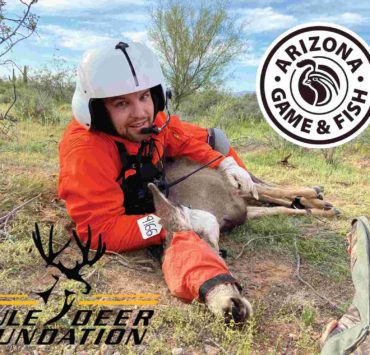
MDF and Arizona Game and Fish Department cooperative mule deer biologist, Lucas Olson, has been focused on this mapping effort. In his role, Olson participates on the USGS Corridor Mapping Team, a team of scientists and spatial analysts that have developed the methods used to analyze and map big game migration corridors and winter range. The Corridor Mapping Team uses analytical tools such as the Brownian Bridge Movement Model to create heat maps, which represent ‘hot’ and ‘cold’ spots as probabilities of animals using certain areas. Models like the Brownian Bridge are powerful tools that can help wildlife managers identify road crossing hotspots, movement bottlenecks, or critical winter range within a population of mule deer and prioritize these areas for conservation.
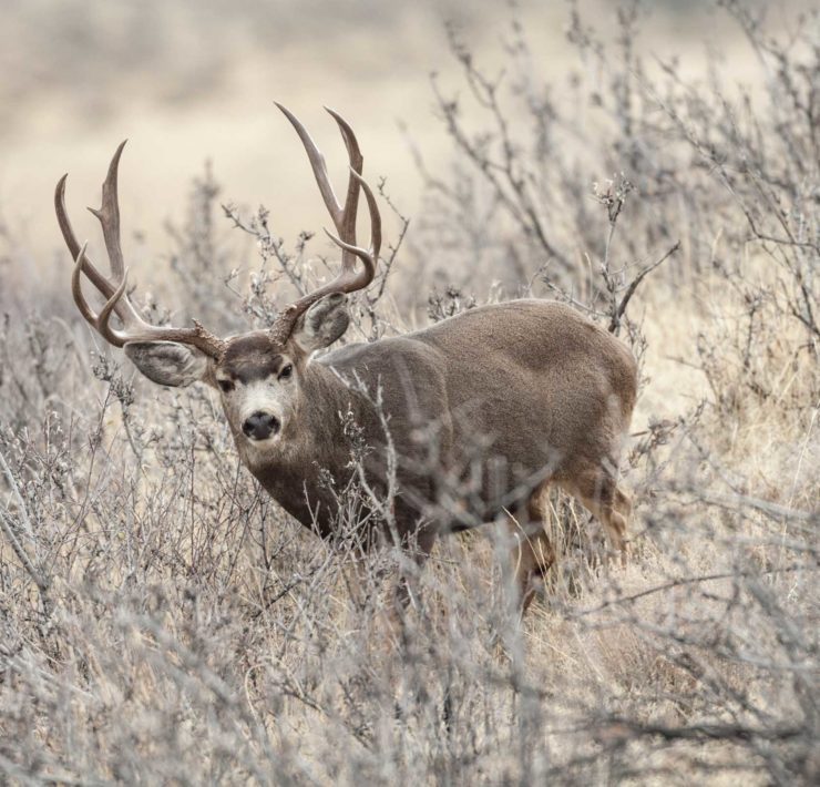
“Science indicates mule deer migration routes are legacies passed down through cultural knowledge in a population. When migrations are lost, it may take decades for a population to re-route, or re-learn a migration,” commented Olson. “Through early landscape planning efforts and science-based assessments, there are opportunities to mitigate negative impacts and conserve these migratory traditions. The work MDF and state fish and wildlife agencies are doing with USGS through the Corridor Mapping Team will help us address these conservation challenges. Today’s technology allows us to understand these migration corridors with fine detail, and this effort is just the beginning of more great work to come.”
“The new Ungulate Migrations of the Western United States report is a tremendous compilation of migration data and will help establish the road map for our conservation activities in the coming years. We thank the USGS and our state partners for their hard work to develop this critical tool,” concluded Moretti.
The Mule Deer Foundation is the only conservation group in North America dedicated to restoring, improving and protecting mule deer and black-tailed deer and their habitat, with a focus on science and program efficiency. MDF is a strong voice for hunters in access, wildlife management and conservation policy issues. MDF acknowledges regulated hunting as a viable management component and is committed to recruitment and retention of youth into the shooting sports and conservation. Get involved in your state or become a member at www.muledeer.org or call 1-888-375-3337.


