Mapping and Managing Migration Corridors
Jim has authored or coauthored more than 220 scientific papers,…
Exploring how mule deer migration and mapping plays a critical role in conservation.
In North America many western big game species move from separate winter to summer ranges with animals being forced out of high elevation summer ranges in the fall by winter storms and accumulating snow depth. After spending the winter on marginal nutrition, they move out of low elevation winter ranges as soon as the spring green up starts, and they follow that gradual green up as it progresses up slope in elevation until arriving back on their summer ranges. This migration strategy allows individuals to maximize their annual nutritional intake, providing great forage that underpins higher survival and reproductive rates.
Summer range habitat is more abundant and nutritious in most places, but the availability of winter range and migration corridors is limited and frequently in conflict with human land uses. These land uses and conflicts have been increasing and will continue to do so as our human population grows. The estimated human population in North America was more than 565 million in 2016, with a birth rate that is nearly double the death rate. Each year there are approximately 4 million births in the U.S. and 2.4 million deaths. With more and more people in the West, we will need more subdivisions, shopping centers, industrial parks, and more energy development to run them. However, all this development can remove or alter quality mule deer habitat and block migrations of mule deer and other big game.
Infrastructure fragments wildlife habitat piece by piece in a slow, almost imperceptible rate. Much research has been done on habitat fragmentation to show the genetic and numerical effects on wildlife populations. Most of us live in a home, drive a car, shop in local shopping malls, and turn the thermostat up a notch when the house is cold, so the source of the issue is not elusive. This fragmentation is our doing and so wildlife will need our help to undo it. We have to learn to live with wildlife in such a way that they not only persist but thrive and that will take a combination of science, long-term planning, and hard work.
Turning to Technology
Most western wildlife agencies have rolls of paper maps from decades ago with arrows, numbers, and polygons in colored pencil to show winter ranges and migration routes of their major big game herds. Some of those paper maps were later digitized into a computer file, giving them the appearance of an Encyclopedia of refined science, despite their birth as a coloring book.
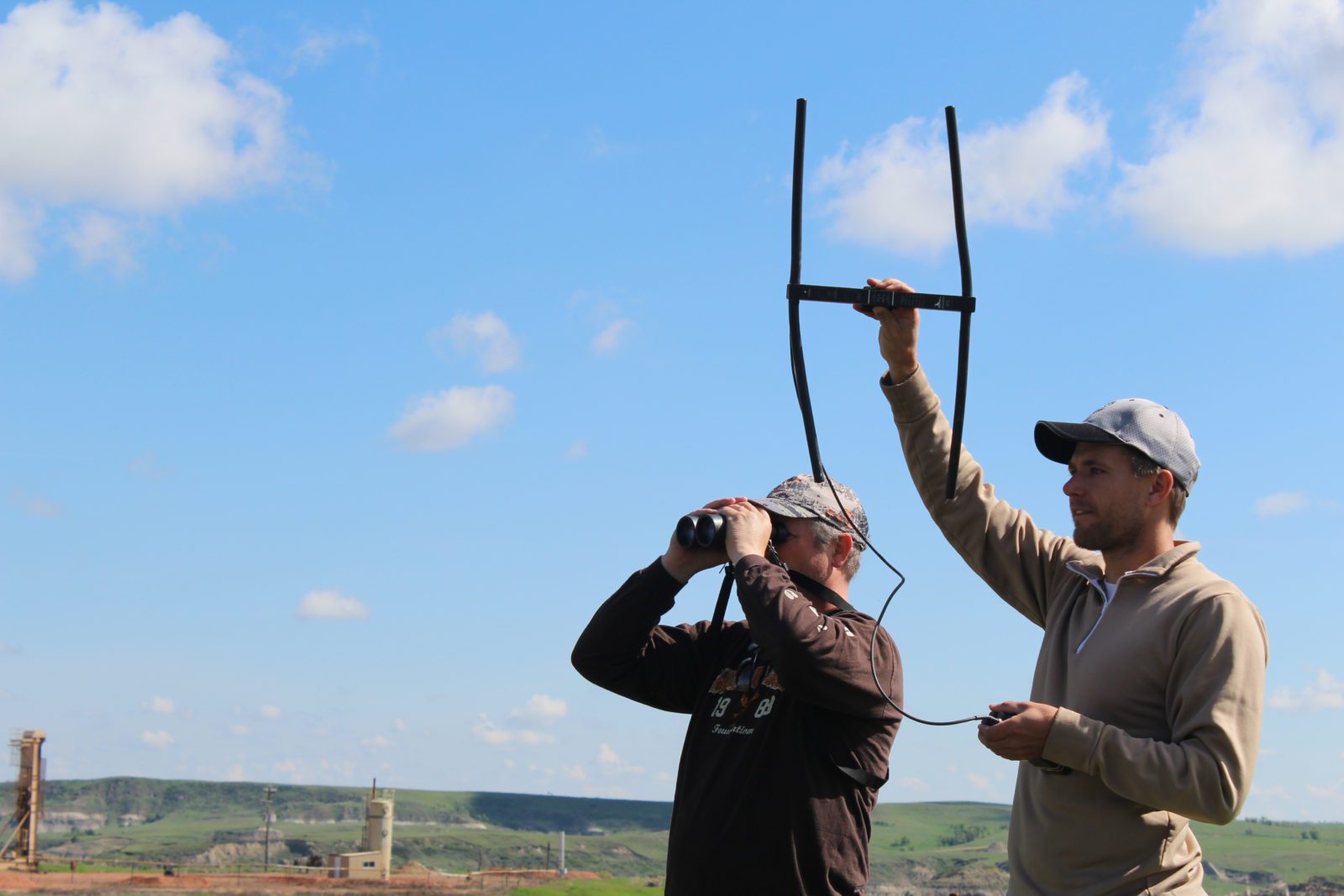
In the 1960s, some biologists who wanted to be engineers but hated math started to experiment with building collars emitting a radio signal that could be located with a receiver and directional antenna. Through continued development, the wildlife profession launched the practice of affixing radio collars on animals large enough to carry them so that they could be relocated periodically. Locating animals remotely was space-age stuff at the time and contributed immensely to our knowledge of habitat use and movements. This was an obvious step up from colored pencils, but locations once per week or month gave us a coarsely pixilated view of movement corridors.
In the 1990s came collars with Global Positioning System (GPS) technology that allowed very accurate locations to be recorded and transmitted to a central database, either in real time or later when the collar was retrieved. Being able to get our hands on coordinates of an animal every 12 hours, 2 hours, or even more frequently has completely revolutionized the type of information we can glean and the research questions we can ask. Importantly, it has turned our pixelated view of migration corridors into high definition images.
Matt Kauffman, the leader of the USGS Wyoming Cooperative Fish and Wildlife Research Unit at University of Wyoming co-founded the Wyoming Migration Initiative (WMI) in 2012 with Bill Rudd of the Wyoming Game and Fish Department. WMI is a consortium of researchers and science communicators collaborating on migration research to identify these corridors and better communicate this information to the public, biologists, and decision makers.
One important piece of information that has come to light is the fact that the migration corridors themselves are not just a line from Point A to Point B, but instead represent important habitat.
Hall Sawyer, a wildlife researcher for Western Ecosystems Technology, Inc. and a Research Associate with WMI, explains: “These migration corridors are not simply conveyor belts that move deer between seasonal ranges, rather they provide critical foraging habitat that contributes to the annual nutritional cycle of deer and other big game.”
Fine-scale movement data collected from GPS collars show that big game often stopover for days, and sometimes weeks, before continuing their migrations. Research by Sawyer and Kauffman revealed that mule deer in Wyoming spend 95% of their migratory time in stopover sites. Accordingly, these areas are now becoming the focus of conservation and additional research.
These stopover areas are a key component to the mule deer strategy of “surfing the green wave” of vegetation green up to higher elevation summer range. Stopovers allow them to maximize nutrition in the spring – foraging in just the right place at the right time – to regain body weight lost on winter range. If they migrate too fast and overshoot the green up, they won’t have nutritious forage or may get stuck in a late snow storm too high. If they migrate too slowly, they miss the upslope progression of the most nutritious peak of new growth. In fall, they head down to winter range with everyone else, so they need to add as much body fat as possible on their way down. This means they stopover in areas with good food until being driven down by snow storms.
Kevin Monteith of the Wyoming Cooperative Fish and Wildlife Research Unit and an important part of WMI, led mule deer research published last year that found movement during migration has a strong nutritional underpinning, but human disturbance can disrupt this connection and alter movement patterns and timing. Other research shows how mule deer and pronghorn react to energy and other infrastructure development on the landscape. Some animals alter their path to go around disturbance, while others stage at a stopover area for a while before or after moving more rapidly through the disturbance.
Some mule deer move through perfectly good winter range or summer range happily occupied by other mule deer to keep traveling tens or nearly 100 more miles to seemingly similar habitat. Even a single deer population may contain some individuals that are resident and others that migrate 150 miles.
According to Matt Kauffman, “Having a diversity of migration strategies in a single mule deer population means different segments of the same population might be exposed to different weather patterns and habitat conditions. This is a hedge bet to assure at least a portion of the population experiences favorable conditions rather than all animals gambling on the same strategy.”
One showcase example of all this technology is the Red Desert to Hoback migration corridor originally discovered in 2011 by Hall Sawyer after he GPS-collared mule deer in the Red Desert of southern Wyoming. These collared deer left their Red Desert haunts in the spring and shocked everyone by traveling 150 miles northwest to near Jackson Hole. They are traveling back and forth along this 150-mile route for a third of the year (4 months) and have to traverse sand dunes, lake and river crossings, multiple highways, and more than 100 fences. Recently, it was discovered that a collared doe in this population not only migrates 150 miles to the Hoback Basin, but then continues over the Gros Ventre Range, into Jackson Hole, and over the foothills of the Tetons all the way to Island Park, Idaho – 90 miles farther than the other Red Desert deer that stopped in Hoback. She may be an oddball, but chances are she is just the only one so far collared out of a small portion of the population that makes this impressive jaunt each year.
Wyoming is not the only state or province doing good work on this issue, and what has worked well in Wyoming may not work everywhere because of different human population density, topography, and other factors. Wyoming is identifying long migrations of several species, but other states may have shorter movements that represent shifts in elevation more than long-distance travels.
For example, Montana has focused on mapping migrations and big game movements for many years with a focus on habitat quality in all important habitats. Justin Gude, Research and Technical Services Section Chief for Montana Fish, Wildlife and Parks, said recently: “Providing the quality habitat they need on summer and winter ranges is as important as preserving connectivity between the two.”
Montana published their first maps of big game movements in the 1960s and these guided land purchases and hunt season structures at the time. Since then, they have been developing, adapting, and applying various technologies such as step selection function, resistance path and connectivity modeling, as well as the Brownian Bridge Movement Modeling used in most of the Wyoming work.
Corridor Coordination and Collaboration
Identifying and maintaining these corridors and stopover areas is now a major focus of collaborative conservation efforts by state, provincial, tribal, and federal agencies. This work is being amplified by the assistance of many non-governmental conservation organizations like the MDF. With all this great work being done throughout the West, there is value in making sure we are all talking the same language and working in a coordinated way. There are important differences in the various states and so the same analysis methods may not work everywhere, and we may need a diversity of strategies to identify and protect corridors. Despite these differences, consistency is valuable in how the identified corridors are presented. Being able to knit together polygons of these important movement corridors and winter ranges allows for a large-scale look independent of artificial state borders. This is valuable because neither the animals nor sources of habitat disturbance stop at the state line.
Because of the early work in Wyoming and the growing recognition of the importance of these habitats, a collaboration developed between Mule Deer Foundation, Western Association of Fish and Wildlife Agencies, Wyoming Migration Initiative, U.S. Fish and Wildlife Service, Pew Charitable Trusts, the U.S. Geological Survey, and others to advance the identification of movement and migration corridors. Cooperatively we planned a series of “Wildlife Movement and Migration Workshops” throughout the West to provide some training on ways to collect, store, analyze, and visualize movement data, and also how this information can effectively be used to influence policy to manage and protect these habitats. This also enabled states who are doing innovative things to share with others the successful methods they are using to help other agencies in states without a long history of work in this arena.
The first workshop in Eugene, Oregon was a huge success and then something significant happened – the Secretary of the Interior Ryan Zinke came to the Western Hunting and Conservation Expo in Salt Lake City and while there, signed Secretarial Order 3362 to improve habitat quality of western big game winter range and migration corridors for antelope, elk, and mule deer. Secretary Zinke then selected Casey Stemler to lead the charge to implement the secretarial order. The rest of our workshops followed in Mesquite, NV, Laramie, WY, and Bozeman, MT to eventually reach 13 western states, as well as federal and tribal agencies.
Mapping and Managing Migration
With the workshops and initial coordination behind us, it was time to roll up our sleeves and get to work to use the early momentum to build something long lasting. Corridors visualized by plotting high resolution GPS collar data has, in many cases, confirmed what the old field biologists and hunters have known for a long time in a general way, but those general notions are not good enough to conserve these corridors on today’s complex and fragmented landscape. GPS collar technology has allowed us to identify fine-scale constrictions in migration corridors that have to be addressed to allow herds to reach the resources they need to thrive.
At the request of the Department of the Interior, the western states developed State Action Plans that not only documented the known movement corridors in their state, but also included a prioritized list of research projects to learn about other movement corridors not yet mapped. These State Action Plans will be updated each year and serve as the guidance document for prioritizing movement research and habitat improvements. In addition, a Corridor Mapping Team is being coordinated and funded by the U.S. Geological Survey in collaboration with state wildlife biologists, resulting in a diverse team with strong computer mapping skills to work with the millions of animal coordinates flowing into agencies westwide from many thousands of GPS radio collars slung around the necks of mule deer, elk, and pronghorn.
Casey Stemler is showing how serious Zinke is about identifying and improving these corridors by working with conservation organizations, states, and federal agencies in making significant amounts of money available for the research and habitat improvement projects identified by the states. The Bureau of Land Management, U. S. Geological Survey, U.S. Forest Service, and state wildlife agencies are all working together to implement this Secretarial Order. State wildlife agencies are assembling groups of interested stakeholders to discuss these priorities and continue to refine actionable projects that will improve the effectiveness of these corridors and help us learn more in other places.
Foundation for the Future
We are now beginning to see the landscape as a living organism with an ebb and flow of life across the surface. It will be vital that we act now for future generations to preserve the functioning of these lifelines. The first step in the conservation of big game corridors is to identify these movements and the multitude of things that interfere with them. By producing maps of these movements, managers can illustrate quite vividly why these habitats are important and work to resolve the problem areas.
Rarely has such an effort for big game conservation been so comprehensive across so many jurisdictional borders and offered so much potential to establish a solid foundation of research and management actions that will have a profound effect long into the future. By working closely with their state agency partners, non-governmental organizations can play an important role to act as a force multiplier to help with project funds, prioritization, volunteer labor, and advocacy when things get controversial.
As the saying goes: “If not us, who? If not now, when?” Our actions today for the conservation of these corridors will be heralded by future generations just as some of the early conservation efforts are celebrated today. These kinds of conservation actions are yet another example of the contribution to maintaining sustainable wildlife populations provided by our successful system of wildlife conservation for the benefit of all citizens.
Jim has authored or coauthored more than 220 scientific papers, book chapters, and popular articles in national and regional publications. He is currently Chairman of the Western Association of Fish & Wildlife Agencies “Mule Deer Working Group” made up of 1 mule deer expert from each of 24 western states and Canadian provinces.


